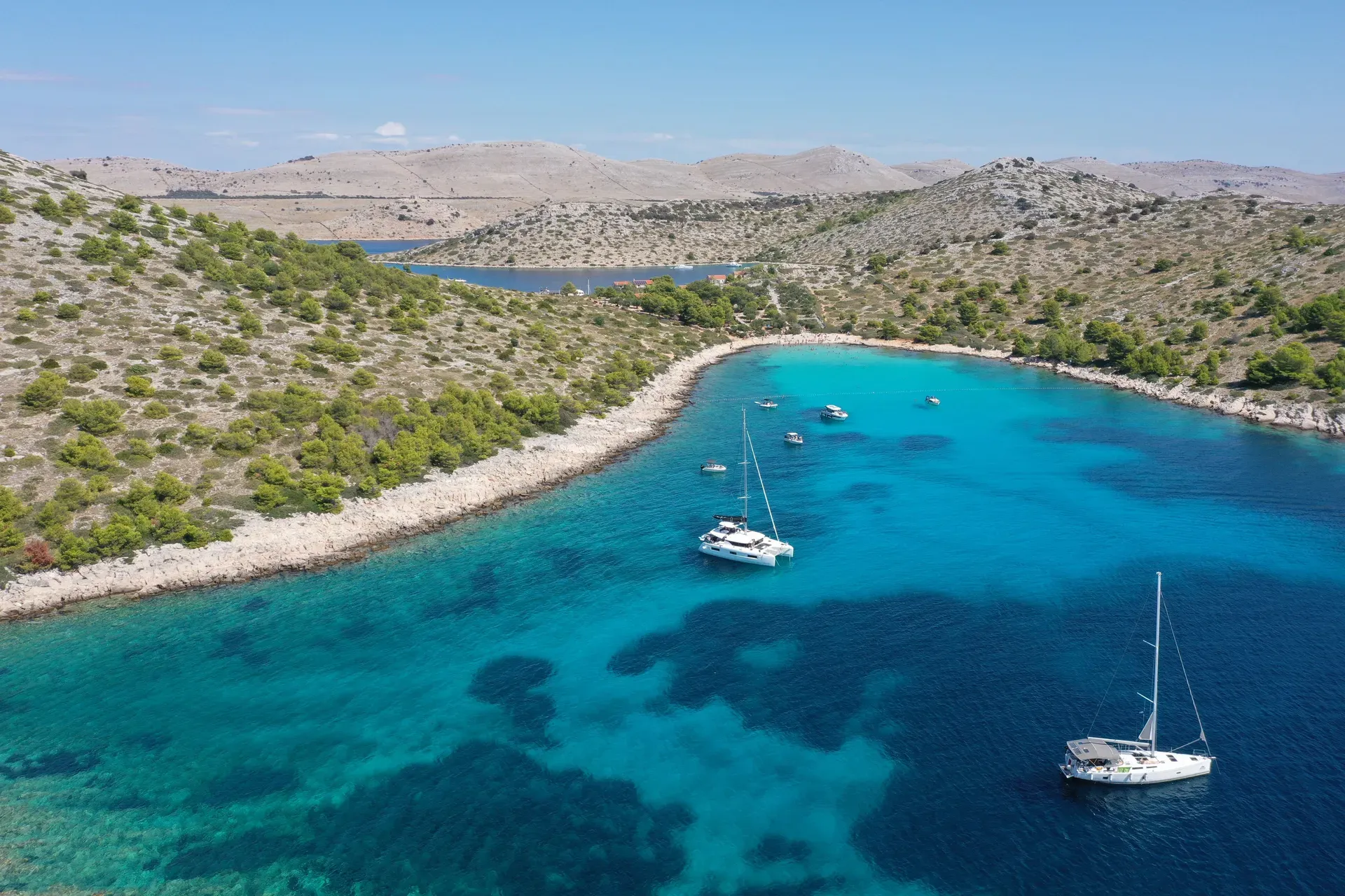
Eighty-nine bare limestone islands, islets and reefs packed into 217 km² of Adriatic between Zadar and Šibenik — the densest archipelago in the Mediterranean. No ferry, no residents, just white cliffs and turquoise bays reached by boat.
Eighty-nine islands, islets and reefs of bare grey limestone stretch for 35 km off the northern Dalmatian coast between Zadar and Šibenik. Packed into 217 km² (about four-fifths of it sea), they form the densest archipelago in the Mediterranean, with 238 km of coastline to cruise. No scheduled ferry serves the islands and nobody lives in them permanently. You come by water or not at all.
From the deck they look almost hostile: treeless white karst, no shade, barely any soil. That severity is the point. On the seaward side the rock breaks into the 'crowns' (krune), vertical fault cliffs that rise more than 80 m above the waterline at Klobučar and continue down more than 90 m below it near Piškera. Inland, dry-stone shepherd walls cross the ridges in long grey lines, and a 6th-century Byzantine fortress, Tureta, still stands on Kornat island. George Bernard Shaw said the gods made the Kornati from 'tears, stars and breath' — a rare famous quote that's actually earned.
Almost everyone visits on a full-day excursion. Boats leave around 9:00 from Murter (7 nautical miles away), Zadar or Šibenik (both about 15 nm) and return near 18:00, mixing cliff-cruising with a swim stop at Lojena beach on Levrnaka and a long konoba lunch of grilled fish or lamb, for roughly €35–40 per person with the park ticket included. Sailors on their own boats buy 3- or 5-day tickets and anchor overnight at one of 16 designated bays. Late May, June and September give you warm water without the July–August crowd; from November to March the tour fleet and the taverns shut down and the bura, the park's most frequent wind, owns the channel.
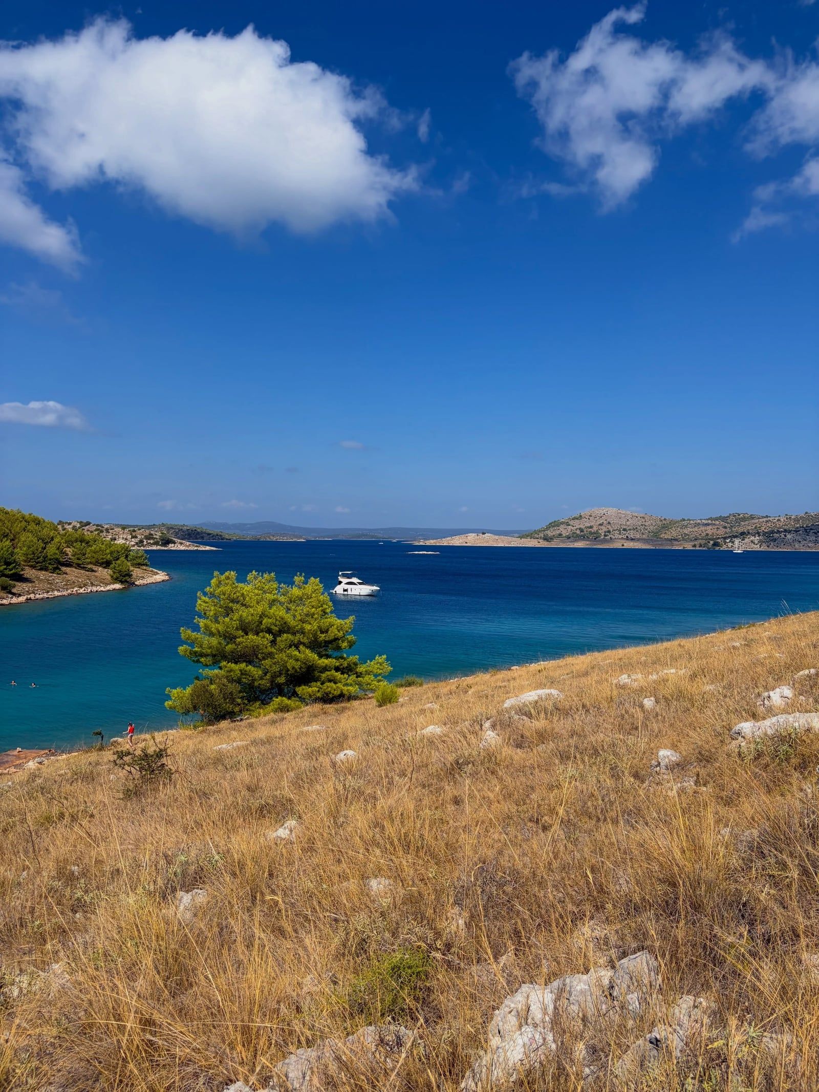
The rock under the park was laid down about 100 million years ago, during the Upper Cretaceous, as layers of limestone and dolomite on the floor of a warm sea. Tectonic forces later cracked that plateau along the same northwest–southeast line the islands follow today. On the southwestern edges the faults produced the crowns, sheer walls that break the surface and plunge on below it, while the gentler northeastern sides slope into the channels between islands. Rain dissolving the rock over millions of years left the surfaces as they are now: stony karst, sharp underfoot, almost soil-free.
People reached the islands long before written records. Neolithic settlers left traces here, and Roman-era remains survive on Kornat. The most imposing relic is Tureta, a 6th-century Byzantine fortress on Kornat, with the ruins of the three-nave church of St. Mary at its foot. For centuries after, the islands worked as seasonal pasture: families from Murter, on the mainland side of the channel, ferried sheep across each spring, grazed them through summer, and fenced their plots with dry-stone walls built without mortar. Those walls still run for kilometres across the ridges.
Protection came late. In 1965 the geographer Sven Kulušić wrote the first proposal for a national park, and on 30 June 1967 the islands were proclaimed a nature reserve. The Kornati National Park Act took force on 13 August 1980 ('Narodne novine' 31/80), covering the Lower Kornati plus the southeast of Long Island with Telašćica Bay. In 1988 that northwest section, including Telašćica, was split off as a separate nature park on Dugi Otok. Boundary changes in 1997 fixed the current shape: 217 km² and 89 islands, islets and reefs.
Nobody lives in the park year-round. The administration sits in Murter, at Butina 2, and mobile ranger desks operate on the water during the season, selling and checking tickets. Shepherds from Murter still bring flocks over for the grazing season, about twenty konobas open in the bays each summer, and sailors return yearly to the 16 bays where overnight anchoring is allowed. The houses scattered across the islands belong to the same Murter families who have held the land for generations.
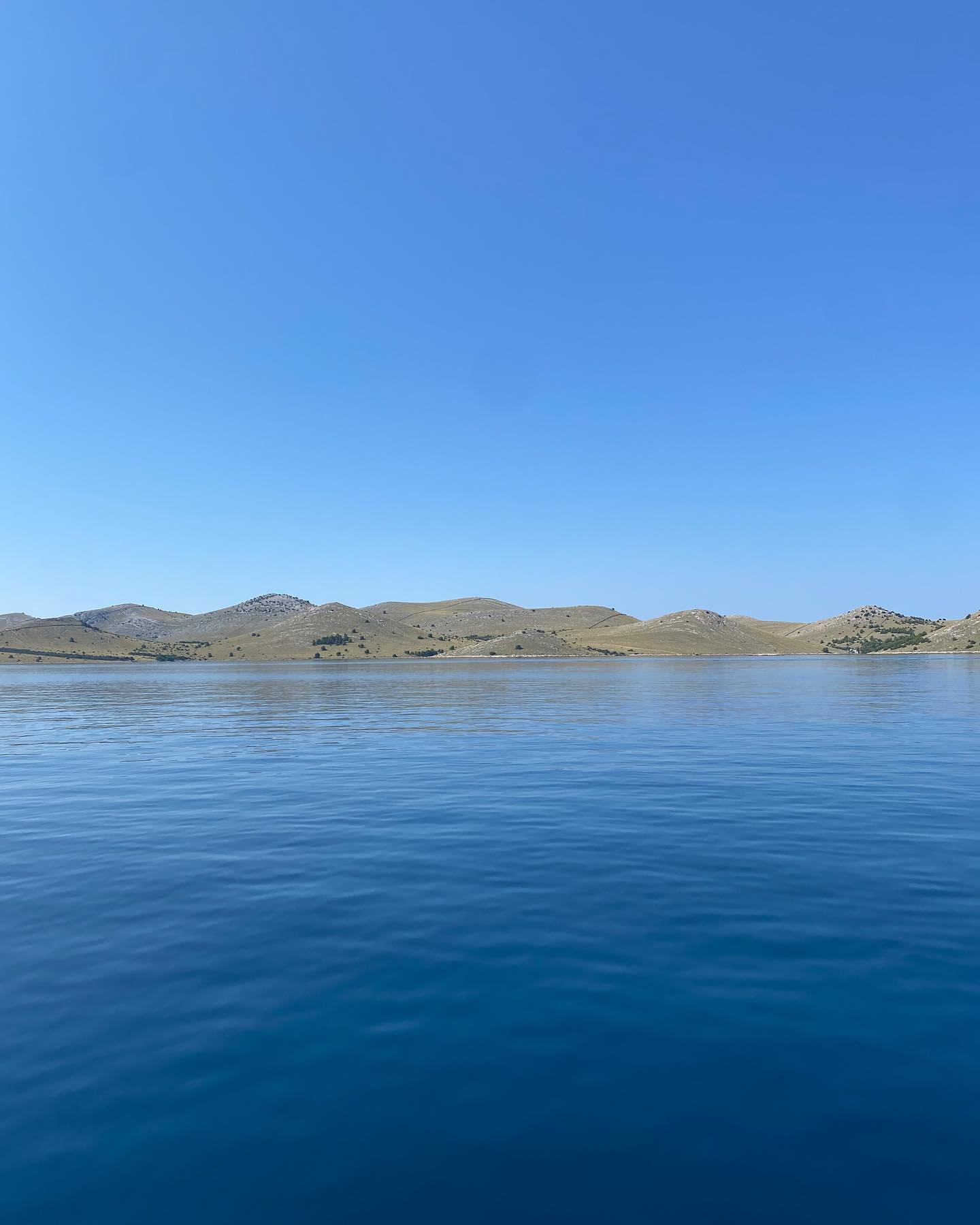
Limestone and dolomite laid down about 100 million years ago, in the Upper Cretaceous, form the entire archipelago. Tectonic faulting later broke the rock along the northwest–southeast axis the islands follow, and on their seaward side the fractures produced the crowns: vertical cliff faces that rise more than 80 m above the water at Klobučar and keep going more than 90 m below it near Piškera. There is more cliff underwater than above it. The highest point in the park is Metlina on Kornat, at 237 m — modest as mountains go, but from the top the whole 35-km archipelago fans out below in long grey ridges.
About 85% of the land surface is bare stony karst, yet botanists have counted 537 terrestrial plant species on it, mostly low, drought-hardy scrub and herbs. Below the waterline the count continues: 353 algae species and meadows of Posidonia seagrass, which hold the sediment in the coves where boats drop their swim stops. Those 238 km of coastline squeeze into the 35-km axis, so bays, channels and reefs follow one another within minutes of sailing.
The climate is Mediterranean of the Köppen 'olive' type, with an annual average around 16 °C and 2,600–2,700 sunshine hours per year — 151 sunny days against 74 cloudy ones. Wind shapes the experience more than rain does. The bura, a cold gusty north-easterly, is the park's most frequent wind, blowing 19.4% of the year, and winds of force 6 or higher arrive on about 37 days. That's what cancels open-water crossings. Check the marine forecast before any spring or autumn trip, and keep a spare day in your itinerary.
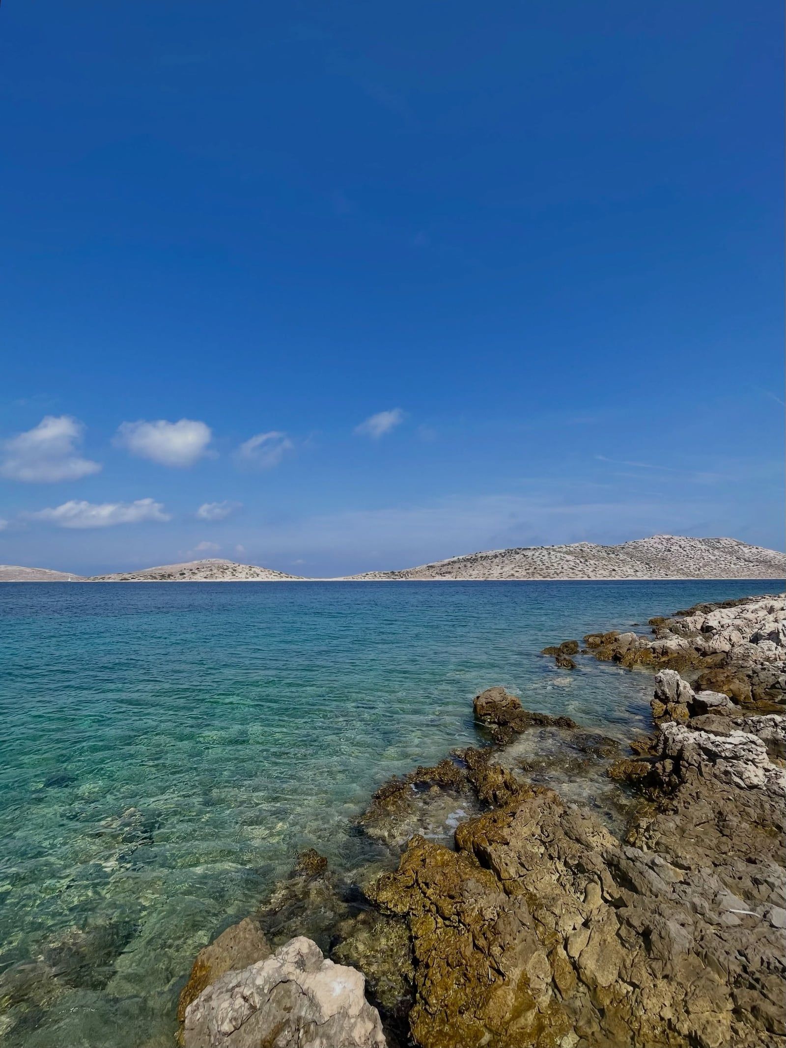
Every hectare of land in the park is privately owned, mostly by families from Murter, 7 nautical miles across the channel. Their ancestors grazed sheep here seasonally for centuries and fenced the grazing with dry-stone walls, laid without mortar, that still grid the hillsides in lines running straight over ridges and down into bays. The flocks haven't stopped: shepherds from Murter ferry sheep across each grazing season, and the walls get rebuilt as they go.
Boats are the other inheritance. Murter's Betina shipyards built the gajeta, the wooden sailing-and-rowing boat that carried shepherds, salt and firewood across the channel for generations, and the island's sailing tradition still supplies many of the tour skippers working the park today. In summer, about twenty konobas — seasonal taverns in bays such as Lavsa, Ravni Žakan and Anica — serve grilled fish and lamb a few steps from the waterline. In winter, every one of them closes.
The oldest human landmark is Tureta, the 6th-century Byzantine fortress on Kornat, with the ruined church of St. Mary at its foot; the climb is one of two marked-trail walks worth doing (the other is Metlina). Shaw's line about 'tears, stars and breath' gets printed on every postcard, and the islands keep earning it. Because the land is private, hiking is limited to marked trails — a restriction worth respecting, since it's a large part of what keeps the islands as they are.
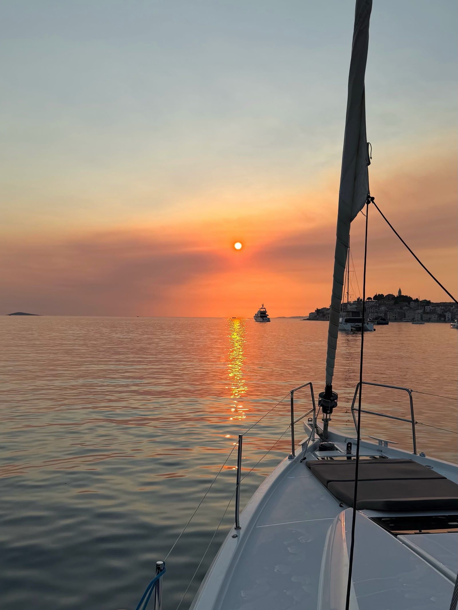
The park packs 89 islands, islets and reefs into 217 km², about four-fifths of it sea. No other Mediterranean archipelago is this dense.
There is no bridge, no scheduled ferry and no permanent residents inside the park. Licensed excursion boats, charters and private vessels are the only way in.
The 'crowns' rise over 80 m above sea level at Klobučar but drop more than 90 m below the surface near Piškera. Most of the cliff face is hidden beneath the water.
Entrance is charged per boat per day, not per person: from €25/€45 for vessels under 7 m up to €1,210/€2,245 for boats over 100 m.
George Bernard Shaw described the Kornati as made by the gods from 'tears, stars and breath' — the line appears on postcards across the region.
Dry-stone shepherd walls cross the islands for kilometres, built over centuries by families from Murter, who still own all the land in the park privately.
Four strict-protection zones — Purara with Klint and Volić reefs, Mrtenjak, Kolobučar, and Small and Great Obručan — ban all visitors, including swimmers, to protect birds like the common shag and eagle owl.
A protected archipelago of 89 islands, islets and reefs in the northern Dalmatian Adriatic, between Zadar and Šibenik in Croatia. Established on 13 August 1980, it covers 217 km², about four-fifths of it sea, and is the densest archipelago in the Mediterranean. Access is by boat only.
Off the northern Dalmatian coast, stretching about 35 km on a northwest–southeast axis between the island of Murter and the open Adriatic. Murter lies roughly 7 nautical miles from the park; Zadar and Šibenik are each about 15 nm away.
Protection was first proposed by geographer Sven Kulušić in 1965; the islands became a nature reserve in 1967 and a national park by Act of 13 August 1980. The park guards the archipelago's fault cliffs (the 'crowns'), 537 terrestrial plant species on bare karst, Posidonia seagrass meadows, and centuries of dry-stone shepherd architecture.
Their limestone and dolomite bedrock was deposited about 100 million years ago in the Upper Cretaceous. Tectonic faulting then broke the rock into the northwest–southeast ridges you see today, with vertical cliffs on the seaward side that rise over 80 m above sea level and drop more than 90 m below it.
All land inside the park is privately owned, mostly by families from Murter who have used the islands as seasonal sheep pasture for centuries. For that reason, hiking is permitted only on specially marked trails.
Yes. Organised full-day tours run from Murter, Zadar, Šibenik, Vodice, Biograd and Pakoštane for roughly €35–40 per person, including the boat, guide, lunch and park ticket. Departures are daily in July and August and group-based in the shoulder months, so email operators ahead in May, June or September.
No. There is no scheduled ferry service and no bridge. The only access is licensed excursion boats, private charter, or your own vessel carrying a valid park ticket.
They were one protected area until 1988, when Telašćica Bay on Dugi Otok was split off as a separate nature park. Kornati is the bare island labyrinth; Telašćica adds the 160-metre Stene cliffs and the swimmable Mir salt lake. A 3-day combo ticket via mySea covers both parks (€55 off-season / €110 in season for boats up to 6.99 m).
Only at 16 designated bays, including Stiniva, Šipnate, Vruje, Lavsa, Ravni Žakan and Anica. Guests at ACI marina Piškera get the park ticket included with their berth fee, and small island houses can be rented through Murter agencies. Camping outside authorised camps is strictly forbidden.
Late May, June and September: the sea is warm enough for swimming, the weather is settled, and far fewer boats compete for the bays. July and August bring the warmest sea (around 25 °C) but peak crowds and the highest prices; from November to March the tour fleet and island taverns largely shut down.
Browse verified tours with free cancellation and instant confirmation.
Find Tours